Been really busy, and stressed out — work — lately, and so have not been exercising as much as I should have. (As an example, I was actually going to do this last weekend, but something came up.) I like the area north of Cave Creek, so decided to give this a shot. I did it clockwise. Got a late start for me, 0730, but it was not much of a problem as temperatures were predicted to be only 84 degrees. My only concern was smoke from the Sunflower and Gladiator fires. There was definitely a pall over Cave Creek in the morning, but after the wind shifted around 0900, it was a brilliant day.
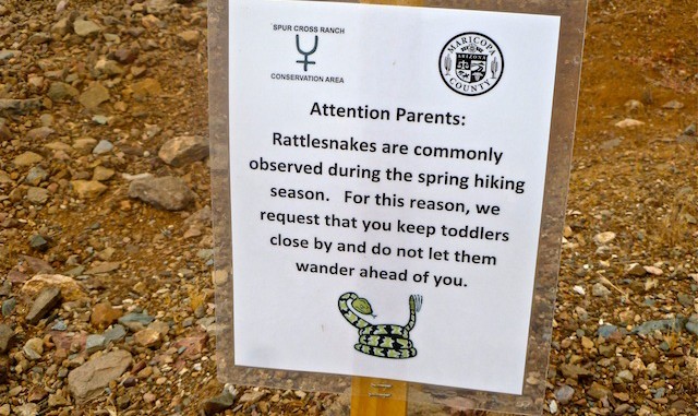
On the hike, the first thing I noticed was a “Hold on to your kids or the snakes will eat them!” sign. Good advice, because of the two snakes I saw, the second probably could have choked down an infant. (Though the kid would have to be Superman to get that far up Trail 247.) On the north side of Trail 247, after the first saddle, at roughly 33.910722 / -111.932547 , I saw a fairly large metallic object of some sort. Probably a water tank. It was not far off trail, and I wanted to check it out, but I could already tell I had perhaps bit off more than I could chew, so left it for another day.
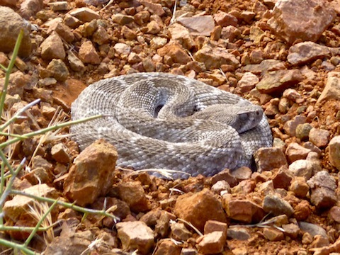
Just after the tank, the trail turns north, following the crest of a ridgeline for about a half mile. I always sweep my vision back and forth, near and far, looking for lines across the trail. Not for snakes, per se, but for lines. Pattern recognition first, then evaluate if it is a threat or a stick. So, I did not notice the adolescent rattler curled up sunning in the trail until I was about five feet away. I stepped back. he did not move or rattle. Obviously he was one with The Mellow. I saw my second snake of the day, a Western Diamondback, about a mile later, just before the Skull Mesa gate. He was perpendicular to the trail, heading away, but rattled me anyway. Obviously a cranky senior citizen.
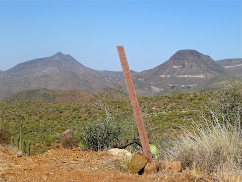
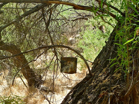
By the time you hit the gate, most of the climbing is done, which is a good thing, because I was starting to feel it. I dropped down into the Cottonwood Spring area, where it looked like the water was done flowing for the year. Just puddles. Though I did walk past Trail 247A at first, with Joe’s GPS route, it was not hard to find at all. It’s right by the tin can hanging from the tree. I created a quick cairn just in case, though honestly you would be fine on this loop with nothing but a hard copy topo map, as land marks were really easy to pick out.
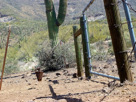
By the time I got to the house at Little Wonder Spring, about 6.5 miles in, I was done. Spent. I could see the trailhead in the distance, so figured the trail must waltz right on down there. No such luck. Property fenced and “no tresspassing” signed off. Word of warning: There is also a sign that says “Trail North”, or words to that effect, but the arrow actually points left/south. Go north.
The last 2.5 miles were just grinding. Besides being tired, and sore, I could tell my left quad was not firing all the neurons it should have been. Like the muscle was dead. Trail 247A hits Trail 4 at the gravel road with one mile to go. Once I got there, tired or not, I tried to pick up the pace because I knew if I slowed down I might stop, and was worried my wife would be worrying that I was late, and because I was having Ft. Bragg flashbacks, where in my younger days we always finish off a march by double-timing to the finish line. I collapsed in the front seat of my wife’s car for a few minutes, apologizing for making her worry, while finishing off the last of my water.
Driving back down the road, my vision was flashing very bright, kind of similar to my Black Canyon hike last June, minus the white rings around the edge of my vision, so we stopped at the Buffalo Chip Saloon to top off my electrolytes with salty french fries and a couple of tall, frosty PBRs.
Distance: 9.40 mi.
AEG: 2,079 ft.
Time: 3h 54m
