
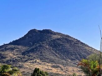
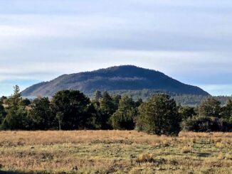
Black Mountain
Since I finished the C&O Canal, I plan on returning to doing Appalachian Trail day / segment hikes. There’s a lot of up & downs […]
Since I finished the C&O Canal, I plan on returning to doing Appalachian Trail day / segment hikes. There’s a lot of up & downs […]
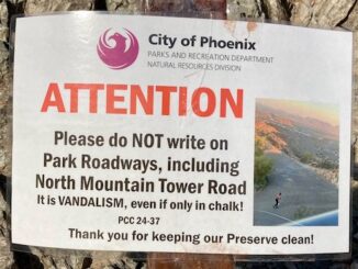
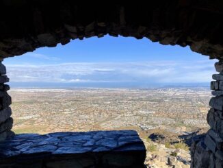
It’s been over a year since I hiked North Mountain. Most of my during-the-week exercise has been biking around Sunnyslope. I decided to get back […]

There’s a good decription of the overall Reach 11 Recreation Area from when I biked the west end last year, so I won’t repeat it, […]
Lots of folks frequently hike Phoenix’s South Mountain Park. Even though South Mountain has 100 miles of dirt trails spread over 16,283 acres, I prefer […]
Ludden Mountain is a double-peaked formation in far northwest Phoenix. The northern false summit is 2,043 ft., while the southern true summit is 2,197 ft. […]
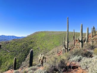
I got the idea to hike Vineyard Mountain from Mike_W on HikeArizona.com. Normally, I spend the winter months doing “locals’ hikes” in the Phoenix metro […]

The Butterfield Stage Trail is a National Historic Trail that starts in St. Louis, travels various routes across the Southwest, ending 2,795 miles later in […]

A list of all the trails & trail systems that I am day / segment hiking, or have hiked / biked.

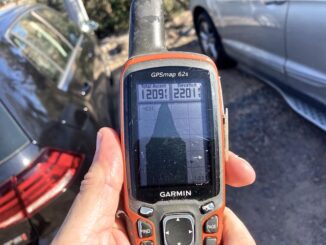
Normally, on Christmas Eve, I hike Shaw Butte to visit it’s palo verde Christmas Tree. It’s a good work out hike. But not worth a […]
I started my winter, lower-elevation, hiking program last week at Peoria Sunrise Mountain Preserve. When I finished around 1 p.m., it was a toasty 87℉. […]
Copyright © 2026 Preston V. McMurry III | WordPress Theme by MH Themes