Dinner with my Dad tonight, and did not think I could get a decent hike in up north, and still make it back in time. (Let alone shower …) So, since I had to drop my wife off at the airport at 0500, I figured I would do a hike somewhere in that general direction. I used Route Manager’s “Mapped Areas” In View: All, and this is what caught my eye.
On my way east on US 60, I figured I would stop at the Waffle House in Apache Junction. The purpose was three fold: Hope for the rain to end (thunder woke me up at 0220), wait for light, and … HASH BROWNS!!!
I missed the exit. ![]()
Oh well. I continued on. I got to the trailhead at the base of Roblas Butte, no problem. FR 357 is a good road. FR 172 and FR 252 are a bit bumpy in spots, but probably still car drivable if you take your time.
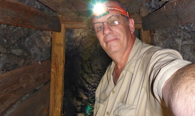
It was still pitch black when I started. I had a head lamp, which I bought for mine exploring, but it took me some time to find my way down the tangled 30 ft. bluff into the Hewitt Canyon wash bed. I booked up FR 252 to Roblas Canyon, as it began getting light.
Roblas Well had two spring boxes, three tanks, and a non-functional windmill (with solar panels). Despite taking my time, and a bit of wandering, I did not see any signs of mining in Roblas Canyon, other than a few claim poles/signs, but it has some nice rock formations and saguaro. Indeed, the whole loop is rich with beautiful saguaro. Highly recommended for the saguaro alone! ![]()
There is much evidence of OHV and shooting activity through out the area, but particularly along the FRs.
The photoset can be summed up in four words: Roblas Butte and saguaros. ![]()
GPS File: Bomboy Mine & Roblas Canyon
Distance: 12.06 miles
AEG: 1,271 ft.
Time: 5h 28m
Hike Video
Exploring Bomboy Mine & Roblas Canyon from Preston McMurry on Vimeo.
