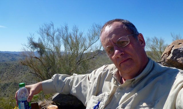
Time constraints prevented me from hiking the benchmarks out to (gravel) Alamo Rd a few weeks ago. In reviewing the topo, I noticed there was a BM a few miles northwest named “Williams 2038”, so I turned the out-and-back into a loop to include it. Glad I did. When I took a break at BM 1198, I was already getting tired, but I figured I would at least press on into the canyon west of BM 1198, and if I was too tired, skip the summit and cut over a saddle to the highway wash.
I had no idea the canyon would be as boulder choked as it was. I wish I could have taken more pictures in what I refer to as “Boulder Canyon”, but I was running low on camera battery. The 1.5 mile stretch midway between BM 1198 and the ascent up the north ridgeline is Ford Canyon-like bouldering. In just about every case, you can find a way around the room sized boulders, and in others there may be a bit of climbing. By the time I got to the foot of Williams 2038, I was feeling somewhat re-invigorated, as Boulder Canyon had begun opening up. A look at my topo — I always carry paper to back up my GPS — told me that I would only save 200-300 feet by crossing the saddle, so up to the summit I went. Took me several tools on the Leatherman to pry open the rusted shut summit log. It was written on a musical score, and was so brittle pieces flaked off as I signed it. It had been nine years since the last logged summit. Wow, and for such a cool hike, that even Bob Martin and Bob Packard had done it! ![]()
I had set out about 0900, and had told my wife I would not be back before 1300, which she interpreted as “will be back by 1300”. When I finally showed up about 1530, she said she would have called out the cavalry if I was had not returned in the next 30 minutes. ![]()
The ranger store unfortunately does not stock beer ![]() so I settled for chugging a couple of large V8s on the drive back to Wenden. Turned out they really hit the post-hike spot. (Probably because they are so high in sodium.) May have to take a few with me on future hikes.
so I settled for chugging a couple of large V8s on the drive back to Wenden. Turned out they really hit the post-hike spot. (Probably because they are so high in sodium.) May have to take a few with me on future hikes. ![]()
Not sure how to change the “Water Reports” section, as it does not allow free form entry. Anyway, there is no water on this hike. HOWEVER … beware that being in a canyon into which room-size boulders have washed, flooding is obviously a concern, or attraction as the case might be.
GPS File: tbd
Distance: 10.70 mi.
AEG: 2,236 ft.
Time: 4h 36m
