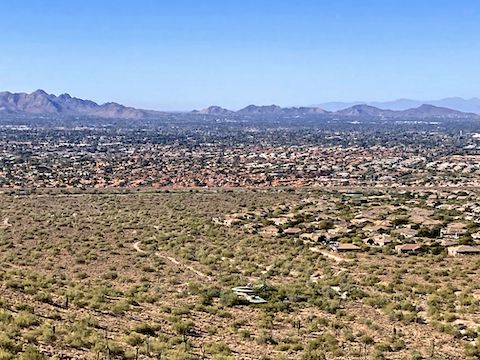
Lost Dog Wash Trail to Taliesin Overlook

McDowell Sonoran Preserve

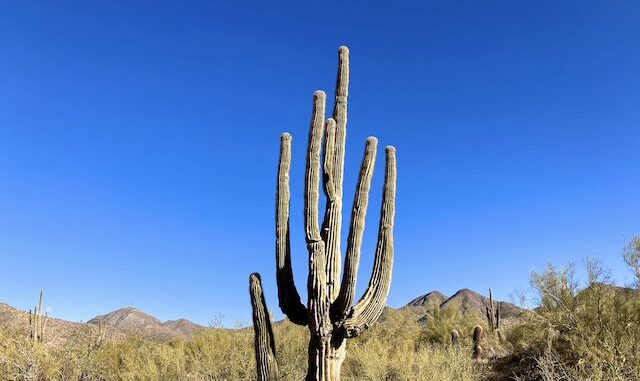
The highlight of the hike were saguaro on Lost Dog Wash Trail. Thompson Peak on the left.

Lost Dog Wash Trail to Taliesin Overlook is 2.1 miles, 400 ft. accumulated elevation gain (AEG), outbound. Only 60 AEG on the return trip. Alternately, Ringtail Trail and Old Jeep Trail, with portions of Lost Dog Wash Trail, is 3.0 miles, 580 AEG, outbound; 232 AEG on the return trip. Combine Lost Dog Wash Trail, Ringtail Trail, and Old Jeep Trail, how you desire.

Personally, I planned to take Lost Dog Wash Trail out; possibly climb Hill 2572,  or work the 2100 ft. north slope contour line, looking for better / closer views of Taliesin West; then take Old Jeep Trail and Ringtail Trail back. About 7.0 miles, 1150 AEG.
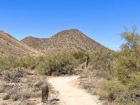
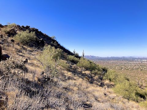
Looking at the south slope of Hill 2572. Lost Dog Wash Trail had a decent surface. While not as busy as Piestewa Peak, there were plenty of hikers and dogwalkers. Even a couple of mountain bikes!
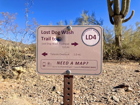
There are plenty of signs in the McDowell Sonoran Preserve, with emergecy markers roughly every half mile, and at the intersections of all named trails.
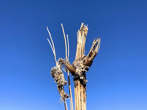
The temp was around 54°, but I had to wear a hoodie, because it was so windy -- the dead saguaro arm was waving at me -- that I was freezing.
The temp was around 54°, but I had to wear a hoodie, because it was so windy — the dead saguaro arm was waving at me — that I was freezing. 🥶
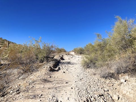
From LD5 to LD7, Lost Dog Wash Trail is co-located with Old Jeep Trail -- which is broken and rocky. At LD7, turn left: Taliesin Overlook is in 200 ft. Still a mile away, Taliesin is hard to see, so the "overlook" is more of a rest spot / vista.
From LD5 to LD7, Lost Dog Wash Trail is co-located with Old Jeep Trail — which is broken and rocky. At LD7, turn left: Taliesin Overlook is in 200 ft. Still a mile away, Taliesin is hard to see, so the “overlook” is more of a rest spot / vista.
I found a faint use trail leading away from the overlook, along the 2100 ft. contour -- basically aiming towards those two saguaro. "Sweet", I think, "I'll be able to cruise right over to Taliesin!"
I found a faint use trail leading away from the overlook, along the 2100 ft. contour — basically aiming towards those two saguaro. “Sweet”, I think, “I’ll be able to cruise right over to Taliesin!”
I should have known better. The use trail quickly disappeared. It took me fifteen minutes to side-slope ¼ mile. With ¾ mile to go, I maxxed out the zoom on my iPhone SE, took this photo, and turned back.

Like I planned, I returned via Old Jeep Trail and Ringtail Trail. There was little to distinguish either trail, other than spotting my only desert flower of the so far dry winter: a single ocotillo, with struggling blooms. Hey! It was exercise … 🤷🏻‍♂️

Directions: From Loop 101 / Pima Freeway, take exit 41 east onto Shea Blvd. In 4.4 miles, turn left onto 124th St. Mind the two school zones, and the hard drainage dip at Via Linda. In 1.0 miles, drive straight into the Lost Dog Wash Trailhead. There is no entry fee.

Park Map: McDowell Sonoran Preserve trail map

GPS File: Lost_Dog_Wash_Trail_to_Taliesin_Overlook

Distance: 5.84 mi.

AEG: 786 ft.

Time: 2h 11m


Rumble Video


Vimeo Video

Biking Reach 11, Phoenix from Preston McMurry on Vimeo.