
Month: October 2024
General Crook Trail: V99-V107
Heading east from Dewey, this is the 13th segment of General Crook Trail. I believe the original General Crook Trail continues along Rim Road to Show […]
PCT: Goldwater Lake to White Spar
The Prescott Circle Trail is a 54-mile mostly dirt loop around the city of Prescott. The “Other” PCT is a multiuse trail, which means hikers, […]

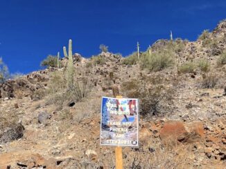
General Crook Trail Bail
I planned to hike the 12th segment of the General Crook Trail. I knew AZ-87 had landslide clearance going on north of Sunflower from 8:00 p.m. […]