
Loop 202 South Mountain Freeway
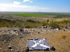
Though it’s only been about four months since my last trek up the Loop 202 right-of-way, it has been a year since I first surveyed […]
Though it’s only been about four months since my last trek up the Loop 202 right-of-way, it has been a year since I first surveyed […]
Down at the pub at a more reasonable hour this morning — 0700, rather than the more common 0430 — to watch Celtic take on […]

I’m on pace to equal my personal second best total mileage for a year, of 678.35 miles, set in 2015, and also to smash my AEG […]
I define Black Canyon Trail segments by the car-accessible roads on which they terminate. Each is 6-8 miles long. So, segment #6 begins at the […]
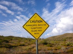
Counter-clockwise from Bronco Trailhead, this is the 1st segment of the Maricopa Trail. I’ve had this hike on my list for years, at least since […]
Copyright © 2026 Preston V. McMurry III | WordPress Theme by MH Themes