
Black Mountain
Arizona has at least six Black Mountains, including two in Pima County. Today’s Black Mountain is in Cave Creek. (Technically, the summit is in Carefree, […]

Arizona has at least six Black Mountains, including two in Pima County. Today’s Black Mountain is in Cave Creek. (Technically, the summit is in Carefree, […]
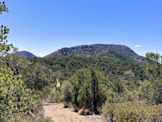
Maverick Hill is a straight forward workout hike, in a remote location, with some good views. But Maverick Hill is a long way from Phoenix. […]
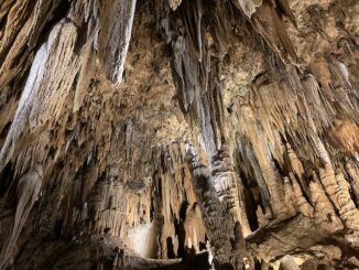
Our usual Hagerstown hotel used to have a rack of tourist brochures, and at some point I grabbed one for Luray Caverns, down in Virginia. […]
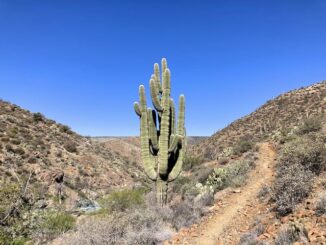
Cave Creek Trail #4, per the National Forest Service, “passes through the Arizona Upland Phase of the Sonoran Desert and through riparian areas of sycamore […]

92 years ago, today, April 7th, the United States told the Carrie Nation killjoys to go f**k themselves with a pony keg. Yes, today is […]

Counter-clockwise from Bronco Trailhead, this is the 26th segment of the Maricopa Trail. My goal the past five years has been to hike or bike […]
Maricopa Trail is a 315 mile trail system in Maricopa County. The 315 miles is the total, including access routes. The actual loop itself, around […]
A list of all the trails & trail systems that I am day / segment hiking, or have hiked / biked.
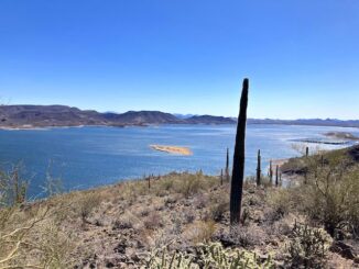
Today’s plan was to hike to the Cholla Benchmark, atop Yavapai Point, in Lake Pleasant Regional Park. 2025 has been the worst flower season since I […]

Despite its name, McDowell Mountain Regional Park is largely in the flats, washes and foothills immediately east of the McDowell Mountains. The trails tend to be […]
Copyright © 2025 Preston V. McMurry III | WordPress Theme by MH Themes