

It was Thursday afternoon, and I was preparing to leave work, when I realized that although I would be in western Maryland for the weekend, I had no hike planned. I threw something together at the last minute, and hiking the Appalachian Trail was it. Not the whole thing … just a small part I could knock out in two hours, with no gear. ![]()
It was pretty darn cold, below freezing. I figure since 31 was the predicted temp in Hagerstown, it could not have been more than 30 at the top of South Mountain. Maybe less. But with a bottle of water in one pocket, and my GPS in the other, off I went. Across some guy’s yard. (My wife reports a cop cruised by a few minutes later; you would think the neighbor’s would be used to odd looking folks lurking around the Appalachian Trail … ![]() )
)
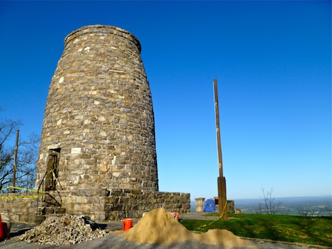
There were not any major climbs, or really very steep climbs, but there were some decent blows, particularly between Turner’s Gap and the Washington Monument — the original one from 1827, not the new one in the District of Columbia. ![]() My very rough work map estimated total AEG to be 177 over five miles, which I knew would be way off, so I figured 500 feet total — it ended up being 902. On a HAZ scale, I estimate the segment to be a 1.0; on the Appalachian Trail Conservancy it would be a 2-3, “Moderate elevation change, but well graded trail.”
My very rough work map estimated total AEG to be 177 over five miles, which I knew would be way off, so I figured 500 feet total — it ended up being 902. On a HAZ scale, I estimate the segment to be a 1.0; on the Appalachian Trail Conservancy it would be a 2-3, “Moderate elevation change, but well graded trail.”
Even though it is early Spring, Fall leaves were still on the trees. Those that had leaves. What leaves there were, were very colorful, especially in the early morning sun. Did not see any other people until the area between Washington Monument and Turner’s Gap, when I passed a couple dozen, including one troop of Boy Scouts. Also saw two deer, but they moved too fast for me to get photos.
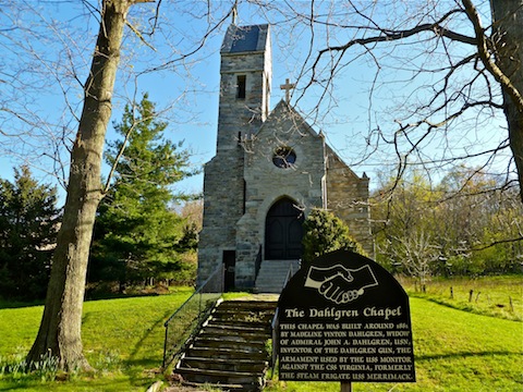
The segment ended at Turner’s Gap, where there were several historical markers for the Civil War battle there, on September 14, 1862, which preceded the Battle of Antietam. (My favorite battlefield visit.)
GPS File: AT_I70_to_Turners_Gap
Distance: 5.07 miles
AEG: 902 ft.
Time: 1h 42m