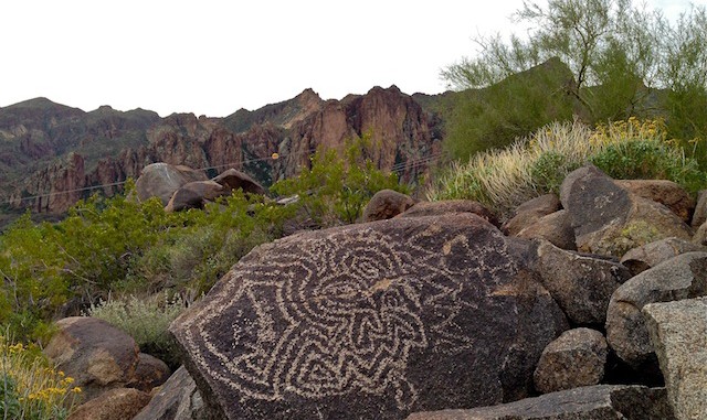
Did a figure 8 of the northern half of Goldfield Ovens, all of Stewart Mountain Dam Petroglyphs, then the southern half of the Goldfield Ovens loop (azdesertfather’s alternate route). Picked up rockadoodledude about 0615, to avoid rush hour traffic, and it was a wise decision. On speed limit-obeying drive east on Bush Highway, pointed out presence of MCSO substation. On way back west, hiking along Bush Highway, saw MCSO traffic stop. Few minutes later heard a siren blip for another stop, and a few minutes after that, MCSO going lights and siren east on highway. Coyotes just off to our right started yipping. Unfortunately I did not get my iPhone out and videotaping quick enough to record the coyote chorus. On speed limit-obeying drive back along Bush HIghway, was passed by three more MCSO units, which caused me to point out to Mike that they have the ability to zap even while moving, even in the opposite direction. (I got nailed doing 80 in a 65 zone that way, near Dudleyville.) And *then* there was a Mesa PD car waiting *just* inside city limits as Bush Highway turns into Power Rd. Freaking gauntlet. You have been warned.
GPS File: Goldfield_Ovens_Loop
Distance: 10.78 mi.
AEG: 1,266 ft.
Time: 3h 59m
Hike Video
(I combined this and my 2011 trip into one video.)
Goldfield Ovens Figure 8, Saguaro Lake from Preston McMurry on Vimeo.
