

I was thinking of doing a ~12 mile loop around Lynx Lake, but then hit on the idea of doing Trail #297 to the summit of Bald Mountain, followed by a short walk to the Walker Charcoal Kiln with my wife, then an exploratory drive on Big Bug Mesa Rd. over the hill to Five Corners. Got started about 90 minutes late, so did not hit the trailhead until 9:00 a.m. ![]()
The first half mile of Trail #297 is through a small burn area. After that it is mostly shaded as it steadily ascended towards a saddle between the two branches of Smith Ravine. (Where I intended to re-join the trail after descending Bald Mountain.) I started seeing a fence south of the trail, about 1.5 miles into the hike. This fence seemed to roughly parallel the trail, sometimes a few yards away, sometimes up to 200 yards away, all the way to Spruce Mountain Rd. I found it odd, as the nearest claim that side of the trail is on the other side of Bald Mountain, a good quarter mile away. My understanding of property law — IANAL — is that a fence must be signed every quarter mile, plus all corners and gates. I never did see a sign on the fence. There was some decent fall colors, mostly yellows, along Trail #297.
When I got the the end of the trail, I turned south on Spruce Mountain Rd. to the transmission line. I had seen a jeep trail that paralleled the line on FS Topo, but did not see it on sat view, so followed my plan to travel under the transmission line up to a saddle above the claim, then up a spur to the summit, thus staying off the claim. The transmission line had a fair number of grab & stabs. I had stopped by a tower for a quick snack, when a pickup went by on a road about 50 yards away. I guess the topo was right. So, I got up on the road for a bit, until I came to some signs just short of the claim boundary.
I turned left up a gully towards the summit. That was very stabby: At least four different species of grab & stabs, including dense thickets of cat claw. ![]() I got sick of it, so crossed from one slope of the gully to the other, as it looked somewhat less stabby. Plus, it put the spur between me and the claim boundary, as I could hear people over threre, and did not want them to know I was in the neighborhood. (I was off the claim, but no sense getting their dander up.)
I got sick of it, so crossed from one slope of the gully to the other, as it looked somewhat less stabby. Plus, it put the spur between me and the claim boundary, as I could hear people over threre, and did not want them to know I was in the neighborhood. (I was off the claim, but no sense getting their dander up.) ![]()
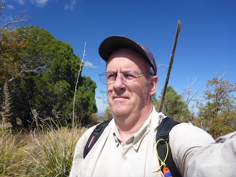
The summit of Bald Mountain was grassy, making its name appropriate. Note that the high point, where I was, is about a quarter mile northwest of the named summit, which is about 100 feet lower (and on the claim). I found two stakes up there, but no marks, caches or summit logs. Bummer. Great views though! ![]()
I followed my plan to descend a spur off the north end of the summit, as that would cut some miles off the hike (and as I had learned, much grabbing & stabbing). Initially, there was some cat claw, but not nearly as much my up route. Other than that, it was smooth, if steep, sailing down to Trail #297, then back to the trailhead.
My recommendation, if you want to summit Bald Mountain, is to go both up & down the way I came down. It will be a bit steeper, but nothing most hikers cannot handle, and will result in less blood loss. ![]()
GPS File: Smith_Ravine_Bald_Mountain
Distance: 7.53 mi.
AEG: 1,856 ft.
Time: 3h 35m
Hike Video
Bald Mountain via Smith Ravine Trail #297 from Preston McMurry on Vimeo.